
Below are the locations of rescue points along the river which will aid the rescue services find you should the worst happen, it is a good idea to download the Rendezvous points file below and keep a copy on board.
| sar_rendezvous_points_-_public.doc |
| 06/16 EA shoals advice.doc |
| waterways_map.pdf |
| navigation_notes_2010_middle_level.pdf |
| witham_info.pdf |
The two files below are quite old but included for reference.
| kings_lynn_to_denver.pdf |
| yorksire_ouse.pdf |
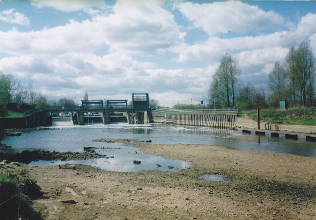
The image below was taken when the water level below Orton lock was lowered, it shows the location of the sandbanks.
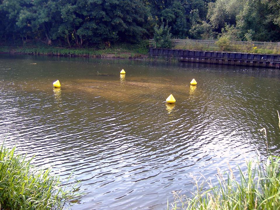
Below is the location of the sandbank below Alwalton Lock.
Boaters handbook
